Transforming Egyptian Cities: A Leap into the Future with Esri
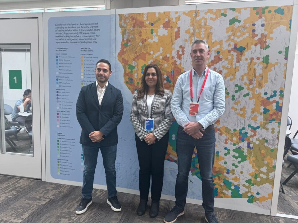
In an exciting move towards enhancing digital infrastructure, Egypt’s Local Development Minister, Manal Awad, engaged in pivotal discussions with Richard Budden, the Director of Local Governments and Smart Cities at Esri, a global leader in Geographic Information Systems (GIS). This impactful meeting took place during the 2025 Esri International User Conference held in vibrant San Diego, California.
The gathering was not just a meeting of minds; it represented a significant step for Egypt’s urban future. Assisting Awad were notable figures such as Hisham El Helbawy, Assistant Minister for National Projects, and Hossam Al Qawish, Assistant Minister for International Cooperation, along with key representatives from Esri. Their collective ambition? To amplify the digital capabilities of Egyptian cities, making them smarter, more resilient, and better equipped to face the challenges of the 21st century.
Awad passionately reaffirmed her ministry’s belief in the vital role that cities play in propelling sustainable development. “Equipping local administrations with accurate, real-time data is paramount. It’s the cornerstone of achieving spatial justice and elevating the quality of life for our citizens,” she noted. A shining example of this vision is the “Atlas of Egyptian Cities”—a transformative model showcasing how GIS can revolutionize local governance. This atlas allows local authorities to effectively monitor demographic shifts and climate changes, prioritize investments, and respond adeptly to emerging challenges.
Furthermore, Awad emphasized the importance of capacity building in Egypt’s governorates. Her ministry aims to empower local governments with the necessary tools to identify and address development gaps, analyze service efficiency, and ensure equitable resource distribution—especially in medium and small cities that require targeted intervention.
One of the critical components discussed was the advent of interactive digital platforms at the city level. These platforms promise to enhance data exchange, bolster urban planning processes, and foster knowledge-sharing with global partners, aligning with crisis response and fostering resilient urban growth.
Richard Budden expressed his admiration for the strides Egypt has made in its digital transformation journey. He remarked, “The Atlas of Egyptian Cities is now a key reference for local governments worldwide seeking to leverage GIS for evidence-based policymaking.” He also emphasized Esri’s dedication to assisting medium and small cities in developing nations, highlighting the importance of tailored digital toolkits and potential training programs. Such initiatives aim to cultivate a new generation of planners adept in using GIS for effective daily operations and strategic decision-making.
Concluding their discussions, Awad envisioned a framework for cooperation that would deepen the integration of spatial planning tools with public budgeting processes, ensuring that development priorities align seamlessly with resource allocation. Both parties agreed on a collaborative roadmap focused on enhancing geographic platforms, developing urban tracking applications, and building capacity—all essential elements of Egypt’s integrated development strategy.
This meeting signifies just one of the many exciting developments taking place in Egypt as it moves toward a smarter, more sustainable urban future. With these initiatives, the nation is on course to create inclusive and resilient cities that not only meet the needs of its citizens but also stand as beacons of progress in the global arena.
#Egypt #Innovation #GIS #SmartCities #DigitalTransformation #Tourism #Politics #WorldNews


